
Walk a Gainesville Street by Address
A Gainesville street directory works as a chain of official sources, not one list of names. Begin with the Hall County map and move parcel by parcel along one side of the road. Record each parcel number, situs address, owner, and legal description. Then repeat on the other side. This method keeps a similar road name, a city-limit crossing, or an owner’s out-of-town mailing address from being mistaken for the place under review.
- Find one known address in Hall qPublic or the Hall GIS Viewer Experience. Confirm the street suffix, directional text, and parcel boundary.
- Copy the parcel or account number, situs address, owner name, mailing address, and legal description into separate fields.
- Turn on parcels and street centerlines in GIS, then inspect each adjoining parcel in map order. Use subdivision lots and city limits to keep the segment consistent.
- Search the current owner in the Hall County portion of the GSCCCA Real Estate index. Match a deed by legal description and book/page, not by name alone.
- For an older household, consult the numerical section of the 1947 Baldwin supplement and compare the entry with a census or deed from the same period.
The sequence identifies assessed owners and recorded parties. It does not prove that each owner lives at the parcel. Gainesville’s owner-occupied share was 39.2 percent in the cited Census estimate, so ownership is an incomplete stand-in for current residents. Treat a homestead code as supporting evidence only.
Gainesville Street Directory Map Tools
Hall County’s GIS gateway explains two complementary tools. qPublic supplies parcel assessment and property-sale information and is updated weekly. The GIS Viewer Experience adds parcels, zoning, subdivision lots, flood zones, utilities, elections, public safety, and future land use. Gainesville also confirms shared layers for aerial photographs, buildings, contours, city limits, water and sewer lines, and hydrants.
| Portal detail | Confirmed format | What is known | Unverified detail |
|---|---|---|---|
| qPublic search | Public web portal | Parcel, assessment, and sale access | Exact fields and first online year |
| GIS Viewer | Interactive map | Layer List and county-confirmed layers | Popup fields and buffer tools |
| County fallback | Phone or NextRequest | Focused parcel and GIS requests | Depends on the record sought |
The dynamic interfaces could not be inspected field by field during research. Do not assume an owner-name mode, ZIP filter, export button, or radius tool exists until the live portal shows it. When the map fails, Hall GIS can be reached at 770-531-6809, and the county records portal accepts a precise request naming the parcel, layer, and date range.
Read Gainesville Address Roll Fields
Hall County’s 2021 returned-mail assessment extract shows how address fields differ. Its columns include account number, parcel number, class, owner, mailing address, current and prior fair market value, property address, legal description, and homestead. One business-owned parcel has a Gainesville property address but a Lawrenceville mailing address. That proves a tax mailing address is not the site itself and is not proof of residence.
- Parcel number
- The database key assigned to a mapped tract. Keep its spacing exactly as the official roll displays it.
- Situs address
- The physical property address, which may differ from the owner’s mailing address.
- Plat
- A recorded survey drawing that may show lots, boundaries, roads, and easements. Georgia does not require every plat to be recorded.
- Criss-cross directory
- An address-ordered directory used to move from a street and house number to a named householder.
The legal description is often the best continuity key. It can preserve the lot, block, subdivision, or metes-and-bounds identity when a street is renamed or a house number changes. A by-street search should retain that text beside the parcel number and deed reference.
Gainesville Records Indexed by Street
Several custodians hold address-keyed records, and each answers a different question. Parcel systems establish mapped property and assessed ownership. Deeds document transfers and legal descriptions. Permit and code records may show construction, work descriptions, project contacts, or contractors. Historical directories and fire-insurance maps add household and building context for a publication year.
| Address source | Keeper | Evidence shown | Access route |
|---|---|---|---|
| Assessment and sales | Hall County qPublic | Parcel, assessment, sales | Public portal, weekly updates |
| GIS parcel map | Hall County GIS partnership | Parcels, streets, buildings, zoning, city limits | Free viewer |
| Deeds, liens, plats, UCCs | Hall Clerk and GSCCCA | Parties, instruments, book/page, legal description | Paid web access; counter and mail |
| Permits and code | Gainesville, Hall, and Oakwood | Address-linked permit or service data | Shared 24/7 portal |
| Historic sources | DLG and Library of Congress | Householders, street numbers, building use | Free digitized items |
No row is a complete household list. Chain sources by stable keys: parcel number joins assessment and GIS; book/page and legal description join the parcel to deeds; site address joins permits; a directory year and old street number join a historical household to the building.
Trace Deeds Along Gainesville Streets
The Hall County Clerk of Superior Court’s Real Estate Division records deeds and provides access to deeds, liens, plats, and UCC filings. Online searches run through the GSCCCA Real Estate Search. Search the current assessed owner within Hall County, open the acquisition deed, and compare its legal description with the parcel. A grantor is the seller; a grantee is the buyer.
To move backward, search the seller as an earlier grantee before the current recording date. Repeat only when the subdivision, lot, legal description, prior-deed reference, or book/page confirms the same land. The online Hall cutoff and subscription price were not verified, so a failed web result is not the end of the chain.
The courthouse annex counter at 116 Spring Street SE can help when supplied with the acquisition year and acquisition name. Copies cost $0.50 per page at the counter. A requester who knows book/page may order by mail at $1 per page. The clerk also states that web access carries a fee and printed web copies cost $0.50 each.
Gainesville Permits Add Address Detail
The shared Citizen Access Portal is the successful image assigned to this street directory. Gainesville describes it as a 24/7 service shared with Hall County and Oakwood for address-related services, including permits and code resources.
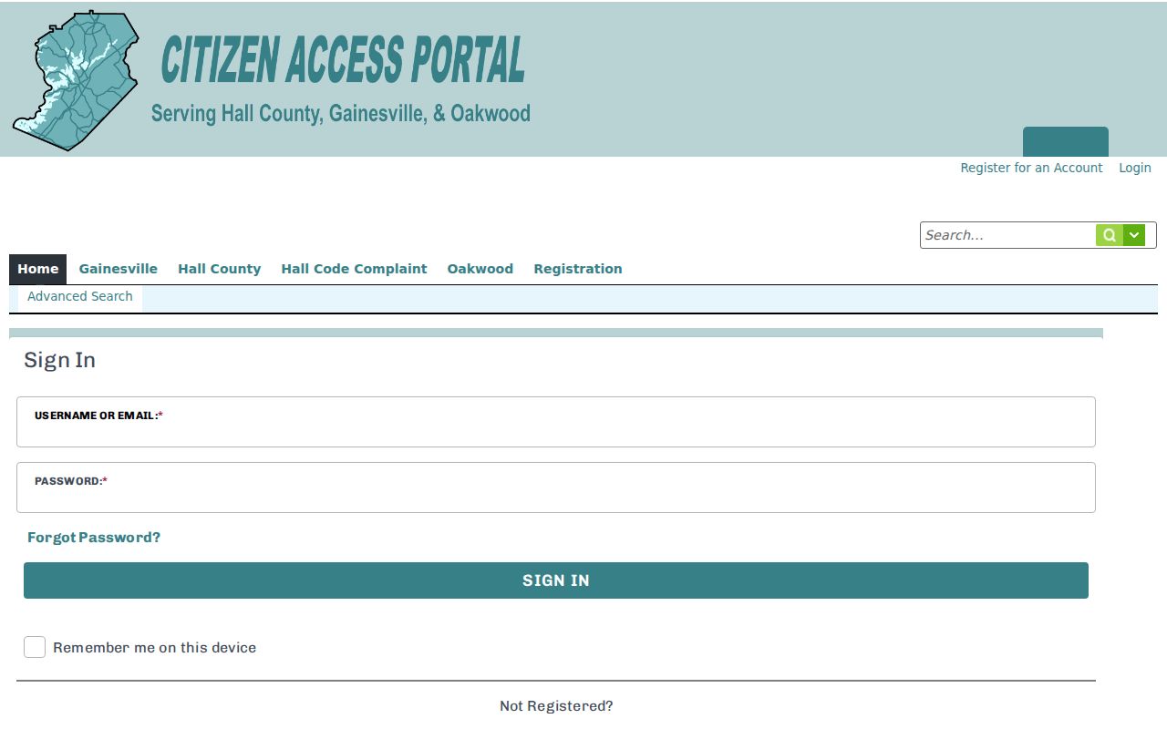
The capture confirms the official vendor entry point. Research could not verify every field or coverage date because the vendor blocked automated inspection, so route missing records to Gainesville Community and Economic Development or the proper open-records custodian.
Gainesville’s City Archive Center provides a second permit route. Monthly issued-permit reports shown for 2024 through July 2026 can include record number, parcel number, open date, permit type, project name, site address, work description, contacts, contractors, and phone numbers. Those names reflect a project record, not proof of residence.
Old Gainesville Streets Need Two Keys
Historical research needs both the address printed at the time and a stable property key. In August 2006, the Green Street segment between Jesse Jewell Parkway and Spring Street became Henry Ward Way. Search both names across that change, then confirm continuity with parcel number, deed book/page, or legal description.
The 1947 Baldwin supplement is a strong reverse source. Its numerical street section puts houses in number order and may list the householder, telephone number, and an owner-occupant mark. It represents one edition, not a current roll. The full historical shelf belongs on the Gainesville city directories collection page.
Sanborn fire-insurance maps add building footprints, construction, use, and old street numbering. Free digitized Gainesville editions run from 1886 through 1922, with special digitized 1936 tornado-damage sheets. Cataloged 1930 and 1930–1962 sets are not fully online. Compare the right sheet with a deed or directory from a nearby year.
Check Gainesville Street Jurisdiction
A Gainesville postal line does not prove that a parcel lies inside city limits. Hall GIS includes a city-limits layer, while Gainesville Planning maintains city mapping, handles annexations, reviews plats, and provides zoning verification. Use that boundary before sending a permit or code request. County GIS remains the countywide parcel and layer contact.
ZIP codes answer mail-routing questions, not municipal jurisdiction. A situs address, an owner mailing address, a legal description, and a ZIP can all describe different aspects of one parcel. Hall County’s street-name policy also bars duplicate or confusing names and requires Planning Director approval, which helps emergency response but does not erase old aliases from records.
Request Gainesville Address Records
When no public portal supplies the needed record, describe an existing record rather than asking an agency to compile a new street directory. Name the address, parcel number if known, record type, department, and a focused date range. Hall County routes most general requests through NextRequest, while Elections, Environmental Health, Sheriff, and Courts retain separate channels.
Gainesville directs city requests to its designated records specialist through JustFOIA. Under the Georgia Open Records Act, an agency must respond within three business days. If production cannot occur then, the response should state timing, cost, and the legal basis for withholding. Hall’s portal warns that requests are public records, so omit confidential personal data.
Limits of a Gainesville Street Directory
Property records identify assessed owners, not every occupant. A deed identifies parties to a transaction. A permit may name an applicant, project contact, or contractor. None establishes a full current household. Utility customer and delivery data should not be treated as a public neighborhood directory, and federal law restricts motor-vehicle personal information.
Protected addresses are lawful endpoints. Georgia Safe at Home can substitute a public-record address and seal a participant’s confidential voter address. Sealed court files, restricted vital records, and exempt identity fields are also limits to respect, not gaps to work around.
Lawful use. Use Gainesville address records only for lawful personal research, and never to stalk, harass, intimidate, or harm anyone.