
Gainesville ZIP Code Directory Coverage
Five candidate ZIPs are associated with Gainesville in the research: 30501, 30503, 30504, 30506, and 30507. Their area notes come from official local and Census geography context, but ZIP delivery boundaries change and were not fully captured as static USPS polygons. Verify a precise address with USPS. Then verify municipal status in Hall GIS.
| ZIP | General Gainesville area | Known postal facility | Boundary caution |
|---|---|---|---|
| 30501 | Downtown and central Gainesville | Main Post Office, 364 Green Street NE | Central postal label still does not prove city-limit status |
| 30503 | Gainesville mailing and PO-box geography | No separate public counter confirmed | Special-use or PO-box role must be checked with USPS |
| 30504 | West and southwest Gainesville area | Westside Finance Unit, 950 Washington Street NW | May include city and county addresses |
| 30506 | Northwest Gainesville and Lake Lanier area | Limestone station, 1310 Jesse Jewell Parkway NE | Lake-area mailing geography crosses local boundaries |
| 30507 | East and south Gainesville area | Gainesville Carrier Annex, 1785 Atlanta Highway | Mixed city and Hall County jurisdiction |
The Main Post Office phone is 770-536-9715. Westside, Limestone, and the carrier annex support the wider delivery network, but a facility location does not define a ZIP boundary. No authoritative evidence confirmed a Gainesville institution-only unique ZIP. The 30503 classification should likewise be checked in the live USPS system instead of being asserted from third-party lists.
Read Gainesville Postal Areas With City Maps
The City of Gainesville map page links NPU maps, historic districts, permits, code resources, and the shared Citizen Access Portal. These layers add civic context after a postal area is known. Bradford–Ridgewood and Fair Street/Newtown have formal NPU plans, but no public resident roster was found for either group.
The official Gainesville maps page shown here is a gateway to mapped city evidence rather than a USPS ZIP boundary tool.
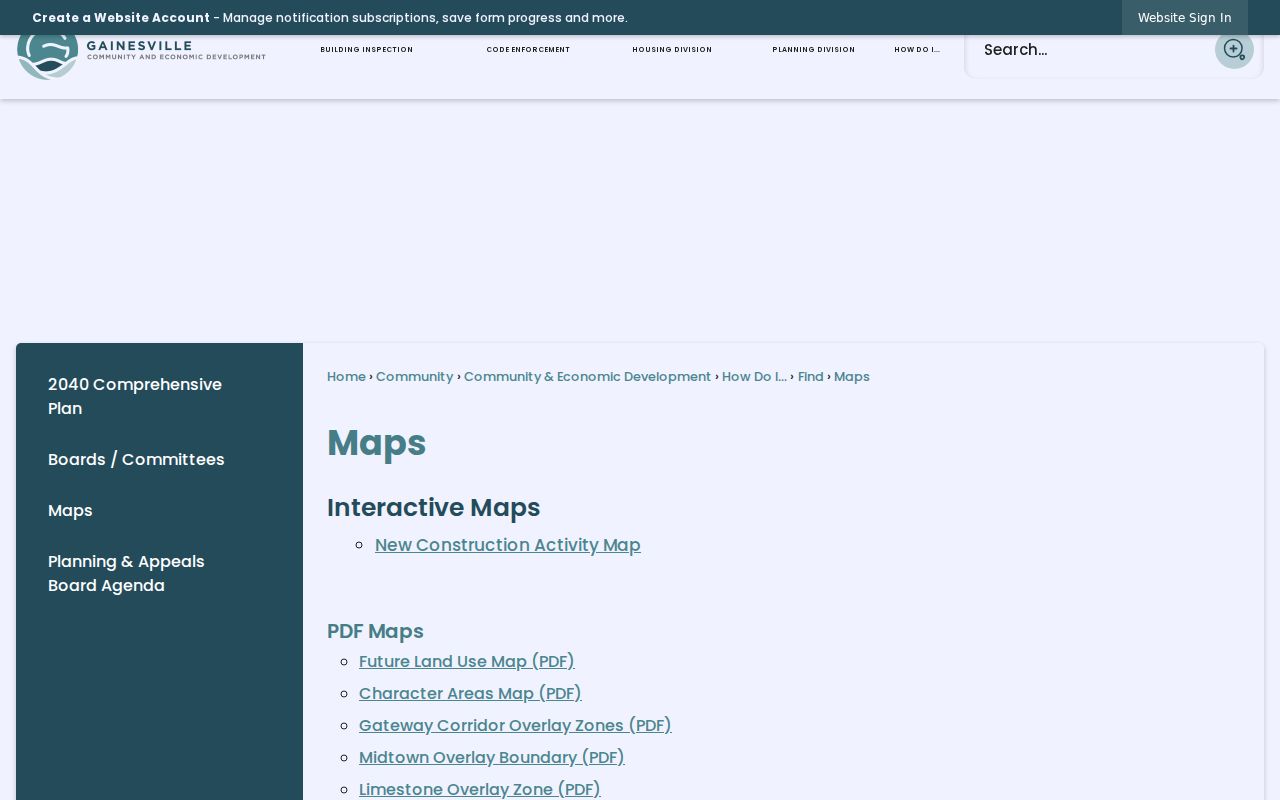
The captured page helps place a postal address in local planning context, but the Hall GIS city-limit layer remains the test for jurisdiction.
Search Gainesville Residents Within One ZIP
No official source inspection confirmed that Hall qPublic accepts a ZIP-wide filter, so do not claim one. Its county description supports parcel, assessment, sales, and weekly updated data. Hall GIS supports parcel and city-limit context. The safe workflow begins with an address-level USPS result and then moves to mapped parcels or record-specific channels.
- Enter the full known street address in the USPS lookup. Save the standardized city, state, ZIP, and ZIP+4 that it returns.
- Open Hall County GIS and locate that same address or parcel. Turn to the city-limit and relevant service layers before picking a custodian.
- Use Hall qPublic for the individual parcel, assessment, and sales trail. Keep situs and owner mailing addresses distinct.
- For voter research, use My Voter Page only for self-verification. Georgia's separately sold voter-list products use their own prescribed geographic choices and access process.
Once the postal area is narrowed, the Gainesville directory by street carries the address-level workflow. ZIP geography should narrow the search, not stand in for proof of who occupies a parcel.
Use the USPS Fields in a Gainesville ZIP Search
The captured USPS address form is the verified ZIP-capable portal for this task. It asks for a street address, apartment or suite when applicable, city and state, or a ZIP already known. Its role is delivery validation. It does not decide whether Gainesville or Hall County provides a local service.
| USPS field | What to enter | How it helps |
|---|---|---|
| Street address | House number and street name | Finds the delivery ZIP for one address |
| Apartment or suite | Unit detail when used | Refines a multi-unit delivery point |
| City and state | Gainesville, GA when that is the mailing city | Supports postal matching, not city-limit proof |
| ZIP Code | Known five-digit code | Helps validate or complete an address query |
The USPS address lookup shown here is the correct source for the postal part of the Gainesville directory.
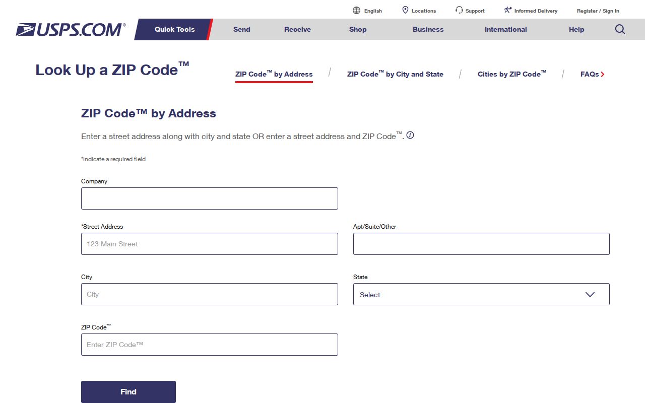
The screenshot shows why a complete address is stronger than a city name alone. Carry the returned ZIP into Hall GIS for the separate jurisdiction check.
Separate Gainesville Mailing, Situs, and Title Keys
A postal ZIP belongs to delivery geography. A situs address is the physical location used on a parcel record. The owner mailing address is where tax correspondence goes and may be elsewhere. A legal description identifies land through recorded title language. These four clues can disagree without any record being wrong.
Only 39.2% of occupied Gainesville homes were owner-occupied in the 2020 to 2024 Census measure. That number makes the distinction practical: an assessment roll names owners, not a complete set of residents. Use postal geography to frame the area, then pair parcel data with a second source suited to the person or time period.
Key distinction. A Gainesville ZIP on a tax mailing address may describe the owner's mail destination, not the parcel location or the current occupant.
Gainesville ZIP Trails Cross Changing Place Names
Street history can break an address search even when the ZIP stays familiar. In August 2006, the Green Street segment between Jesse Jewell Parkway and Spring Street became Henry Ward Way. Search both names for records that cross that date. A parcel number, deed book and page, or legal description carries stronger continuity than postal wording.
Historical directory geography also expanded beyond Gainesville proper. The 1952 Polk directory included Gainesville Mill and New Holland, and later Polk volumes added Chicopee by 1959. Those collection boundaries do not map cleanly onto present ZIPs. A historical resident search must use the edition's stated coverage rather than project a modern postal polygon backward.
Route Each Gainesville ZIP Record to Its Custodian
After GIS confirms the parcel's location, use the office tied to the record. Gainesville Planning handles city annexation, zoning verification, plat review, and city mapping. Hall County qPublic and GIS cover county parcel evidence. The shared Citizen Access Portal supports permit and code access, though its live search fields and coverage start were not captured.
If a record is missing, Gainesville uses its JustFOIA open-records process. Hall County moved most other requests to NextRequest on July 1, 2026, while Elections, Environmental Health, Sheriff, and Courts retained separate channels. Georgia's Open Records Act generally calls for a response within three business days. A precise request should identify the address or parcel, record type, office, and date range.
Place Gainesville ZIP 30501 in the Historic Core
ZIP 30501 is the strongest postal starting point for central Gainesville, but older sources use their own map and directory boundaries. The digitized Gainesville city-directory collection runs through 17 intermittent items from 1882–83 to 1960. It is not an annual run. The 1926 Mann volume uses an alphabetical resident section, abbreviations, occupations, spouse details, addresses, and a street guide. The 1947 Baldwin supplement adds an address-first numerical section with houses in number order, householders, telephone numbers, and owner marks.
Sanborn fire-insurance maps add another view of the core. Verified Gainesville editions span 1886 through 1962, with different sheet counts and coverage in each year. They can show streets, structures, building materials, and changes after major disasters. The April 6, 1936 tornado caused extensive loss and rebuilding, so an abrupt change between directory editions may reflect the built environment rather than a simple move.
These sources should not be filtered by a modern postal assumption. Search the known street and house number in the edition, then use maps to test continuity. Current postal codes supply present-day orientation, while the historical source establishes its own date and geographic scope.
Keep Gainesville ZIP and Voter Geography Separate
Georgia My Voter Page is built for a voter to check personal registration, polling place, elected districts, representatives, and a sample ballot. Those districts are political geography, not postal geography. A shared ZIP can cross precinct, district, municipal, or county service lines. The ballot itself remains secret, and the portal should not be presented as a public ZIP-wide resident browser.
The Secretary of State sells prescribed voter-list products through a separate order process. Geographic choices include statewide, congressional district, state Senate district, state House district, county, and municipality. The inspected form did not establish a simple Gainesville ZIP filter. Voter and history products are priced per thousand records with a $25 minimum, while some specialty lists have set prices. Hall Elections remains the correct local contact for election records and keeps a separate request channel from Hall County's general NextRequest system.
For civic research, begin with the official geography the record uses. A ZIP is useful for mail delivery. A district or municipality belongs to election administration. Mixing those keys can omit a valid record or attach the wrong jurisdiction to a Gainesville address.
Gainesville ZIP Codes Do Not Set City Limits
USPS assigns delivery geography. Gainesville and Hall County maintain civic jurisdiction. Those systems answer different questions, so a Gainesville mailing label cannot prove that an address is inside Gainesville. The mismatch matters for permits, zoning, code records, municipal archives, and the proper open-records channel.
Census ZIP Code Tabulation Areas are another layer. ZCTAs approximate ZIP geography for statistics and are not live USPS delivery routes. Census data can describe an area, but it should not be used to decide whether a precise parcel receives city services. Use USPS for delivery, Hall GIS for jurisdiction, and the named custodian for the record.
- ZIP vs ZIP+4
- A five-digit ZIP marks a delivery area. The four added digits narrow a delivery segment or point.
- PO-box ZIP
- A code used for post-office boxes rather than a broad set of street deliveries.
- Unique ZIP
- A code assigned to one organization with enough mail volume. None was confirmed for Gainesville in the research.
- Carrier route
- A group of delivery points served in one postal route. It is not a city boundary.
That separation is the central rule of the Gainesville ZIP code directory. Postal data narrows the area; official maps and records establish the local facts.